Chicago Transportation
Getting around within the city of Chicago is exceptionally easy, thanks to a comprehensive network of trains and buses. The city center, where most of the tourist sights are located, is easy to navigate by foot. When you need to venture further out of the city, a separate train system can take you to certain suburbs cheaply and quickly. Renting a car is also an option, but parking rates at downtown hotels can be exorbitant at $20-50 per day, and street parking is hard to come by in many neighborhoods. Unless you’ll be spending most of your time outside of the city, a car can be more of a burden than a blessing. For information on getting to and from the city’s two airports via public transportation, see the Airports page.
The “El”
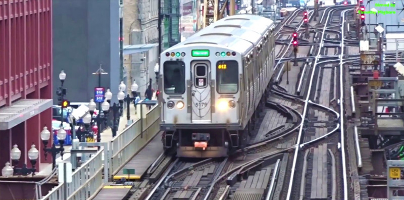
Chicago’s network of elevated and underground trains that traverse the city is referred to as the “el” (because it’s elevated in spots) or the “L” (short for “Loop” because it forms a loop around the downtown core). The oldest sections date back to 1892, making it the second-oldest mass transit system in the US, after New York City’s. It’s one of only four 24-hour systems in the US, made up of eight color-coded lines that cover 106 miles of track.

Red Line
The Red Line is the line most tourists will ride. It runs north and south, from 95th and Dan Ryan, through Chinatown, past U.S. Cellular Field (home of the White Sox) through the Loop, River North, Lincoln Park, and Lakeview, past Wrigley Field (home of the Cubs), and through Edgewater to Howard, at the border of Evanston. When the Red Line ends, it connects to the Yellow Line, which ferries riders directly to the suburb of Skokie.
Blue Line
The Blue Line connects the city’s northwest side to the west side, via the Loop. It runs from O’Hare Airport through Logan Square, Bucktown, and Wicker Park, into the Loop and then back out west again to Forest Park.
Purple & Brown Lines
The Purple and Brown Lines both run between the Loop and the northside, with stops at the Merchandise Mart, in River North, and at Diversey, Fullerton and Belmont. After Belmont, the Brown Line heads slightly west, through Lincoln Square to Albany Park, while the Purple Line runs express to Evanston.
Orange Line
The Orange Line connects Midway Airport to the city, passing through the southwest side. The Pink Line and the Green Line are the lines least used, both by visitors and by locals. The Pink Line runs from the Loop to the west side. The Green Line goes from the west side to the Loop and then down to the southside neighborhoods of Cottage Grove and Woodlawn.
Riding the El
For visitors who are less familiar with public transportation, the first ride on the El can be overwhelming, especially at rush hour (roughly 7:30-9:30 in the morning and from 4:30-6:30 at night). But really, it’s not complicated. While buses accept cash, the el operates on a cashless system. Most locals have a prepaid card that they simply wave in front of the turnstiles. Visitors will need to buy a pass. You can load your pass with a predetermined amount of money and then have the fare deducted each time you use it ($2.25 per train ride, 25-cents for the first transfer within two hours, the second is free) or buy a pass good for a set amount of time. A full day unlimited pass is $5.75, a three-day pass costs $14, a seven-day pass is $23, and a 30-day unlimited pass is $86. Cards loaded with a specific dollar amount can be bought at any train station. Unlimited-ride cards can be bought in the CTA Store and at select grocery stores around town.
Once you have your card, approach the turnstiles and insert it into the reader as shown on the picture (if you can’t figure it out, step aside and then ask an attendant for help). Directions are listed according to where the train ends. For example, north on the Red Line will be designated as “Howard”. Head to the side of the track that lists the final destination for train you want to take. When the train arrives, signs in the front, back, and along the sides will confirm which direction it’s heading. If you aren’t sure, just ask someone nearby, and if you get on the wrong way, no worries. You can just hop off at the next stop and switch directions.
Avoid making enemies on the train by following accepted etiquette. Offer up seats to the elderly and disabled, keep your bags off the seat next to you, and move as far towards the center of the train as you can so that more people can board, especially in rush hour. When heading up or down the escalator, always stand to the right, so that those in a hurry can get by you on the left.
Buses
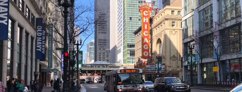
Buses are less often used by tourists, but they can be very helpful in filling in the gaps between the different el lines. The Chicago Transit website has a handy tool that allows you to plug in your starting and ending points and receive a customized itinerary using buses, trains, or a combination of both. Buses do accept cash and cost $2.25 per ride. Prepaid passes are good for rides on both the el and buses.
Chicago Pedway
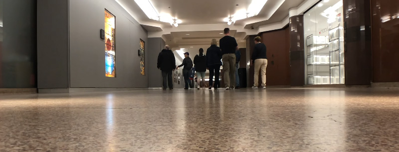
There’s little reason, except perhaps curiosity, for a tourist to head underneath the city to explore the Pedway, but thousands of commuters use it every day to quickly navigate the city streets. Especially popular during the cold winter months, the underground pedway connects 50 buildings covering 40 blocks in roughly four square miles. You can find a Pedway map here.

Taxis
When your final destination isn’t conveniently located next to a bus or rail stop, when it’s just too cold to wait for a bus, or if money is no object, a taxi can be a great option for getting around. Chicago taxis are strictly regulated and, in nearly all areas of the city, easy to come by. They’re also required to accept both credit cards and cash. They can be expensive though. A ride around the Loop or from the Loop to the Magnificent Mile shouldn’t cost more than $8 or so, but a journey from the Loop to a farther neighborhood, like Bucktown or Lakeview, will cost closer to $20 and a tip of 10% is generally expected.
Metra Rail
Chicago’s Metropolitan Rail, or Metra, the system connects the city to its surrounding suburbs. The rates vary according to how far you’ll be traveling, but will usually not be more than $5-10 for the areas most tourists would want to visit. The Metra Rail website can help you plan your ride with online maps and fare and schedule information.
Water Taxi
The Chicago River flows from Lake Michigan through the city, and one of the cheapest ways to see it is on the water taxi. The water taxi runs from the Michigan Avenue Bridge to Chinatown, with stops at LaSalle/Clark and Madison St. A single ride is $2 (add $2 if you want to go all the way to Chinatown) and an full-day weekday unlimited pass is $4 (add $2 for Chinatown and on weekends). The water taxi operates only during the summer months. The water taxi website lists the daily schedule.
