Arches National Park Attractions Guide
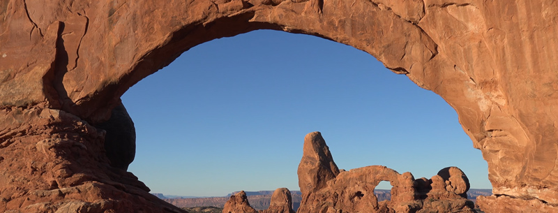
Arches National Park is located right outside Moab, Utah, and actively preserves over 2,000 beautiful sandstone arches, like world-famous Delicate Arch and Landscape Arch, as well as the strange rock formations like Balanced Rock and the gigantic Courthouse Towers. Read on to find a list of these ancient natural arches and formations, along with photographs and information about them.
Attractions in the Park
◊ Delicate Arch
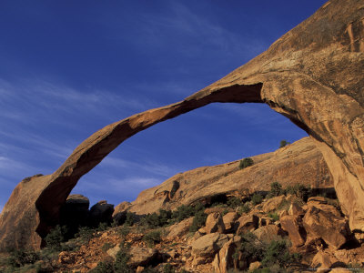
◊ Landscape Arch
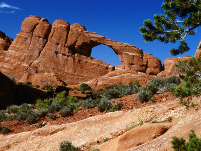
◊ Skyline Arch
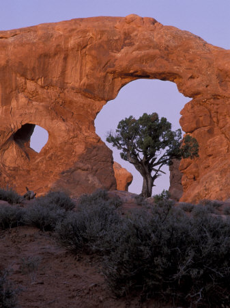
◊ Turret Arch
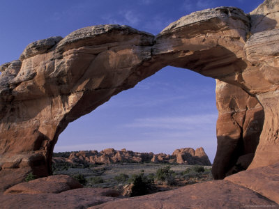
◊ Broken Arch
◊ Double O Arch
◊ Sand Dune Arch
◊ Ring Arch
◊ Balanced Rock
◊ Fiery Furnace
◊ The Windows Section
◊ Park Avenue
Arches National Park Sightseeing
Scenic splendor and the most amount of arches worldwide
Arches is listed in the book, 1,000 Places to See Before You Die, and with good reason. The magnificent sandstone arches aren’t collected in this small area just by coincidence. The salt layer underneath all of the sandstone in Arches pushed upward around 300 million years ago, causing the sandstone crack, and eventually erode. Some of those cracks eroded into the arches that are left today.
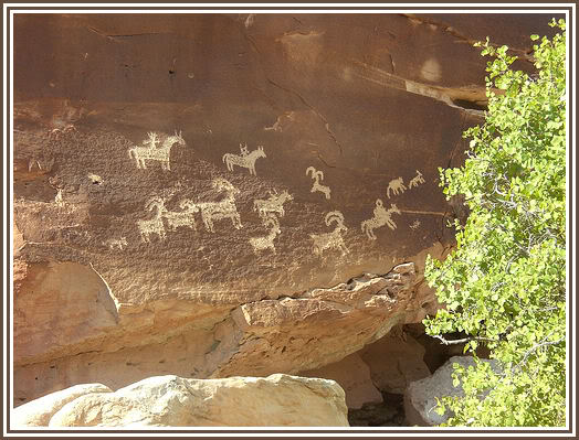
The park has a small collection of Native American petroglyphs to compliment the amazing scenery. Each of the arches in the park can be reached via a short hike or long hike in some instances. Loop trails will provide views of several arches, while others are easily seen right from the scenic drive. You’ll see the most arches if you plan a hike or two in the park. Hiking is best reserved for the early morning or late afternoon when the sunlight best compliments the sandstone.
Delicate Arch
The most famous natural arch in perhaps the entire world!
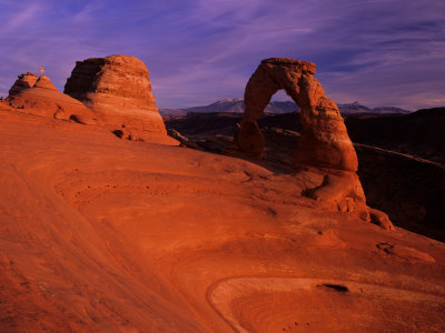
Of all of the arches in the park, and even throughout the world, Delicate Arch is by far the most recognizable. Standing at 52 feet, this incredible example of a natural sandstone arch was formed through erosion. Picture a large half-circle sitting on the ground, then have erosion take a big chunk out of the middle. That would leave an arch. Delicate Arch is also known as “the chaps.” In the summer, you might be lucky enough to find White-Throated Swifts nesting atop the arch.
Landscape Arch
The world’s largest natural arch
Landscape Arch is the largest known arch in the world, standing at approximately 291 feet long. Landscape Arch can be reached through the Devil’s Garden Trail, a 1.5-mile-long walk that will also eventually lead to Double O Arch. The arch has had several slabs fall over the years from the structure.
Skyline Arch
Skyline Arch is easily viewed from the road!
This arch is an easy one for most people to spot, as it’s directly visible from the road! Skyline Arch doubled in size when a portion of the arch collapsed in 1940.
Turret Arch
In the Windows section
Turret Arch is one arch that you can’t miss visually. The arch is easy to find in the Windows section, with giant steps leading to the arch. It has one giant arch in the middle, with a tiny window on the side of the arch.
Broken Arch
In the Fiery Furnace area, near Sand Dune Arch
Broken Arch lies in the Fiery Furnace area of the park. Named because of the crack that runs down the center of the arch, it looks structurally sound for now. This arch is best photographed during the early morning hours, when the reds, oranges, and browns of the sandstone look they’re most colorful.
Double O Arch
The massive sandstone double arch on the Devil’s Garden Trail
The massive Double O Arch lies in the Devil’s Garden area, after Landscape Arch. Two arches comprise the arch, one smaller, one larger. The hike to Double O Arch is a moderate 4.1 miles on the Devil’s Garden Primitive Loop trail, roundtrip. You can also access Private Arch, Navajo and Partition Arches from this trail.
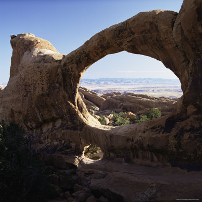
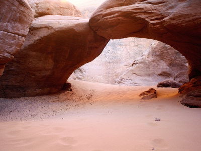
Sand Dune Arch
An easy hike within the park to Sand Dune Arch
Sand Dune Arch is an easy 0.4-mile roundtrip hike in a slot canyon of sorts. From the same trail, you can also access Broken Arch and Tapestry Arch.
The ground surrounding the arch is made of fine pinkish sand, making an enjoyable departure from the rest of the wide-open park.
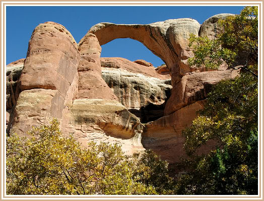
Ring Arch
Near the Courthouse Towers Wash
Ring Arch is located near the Courthouse Towers area and is only viewable by hiking to the area. You’re unlikely to see much of a crowd flocking to this arch. The formation is on a giant piece of rock sandstone and is an easy 1-hour hike.
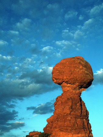
Balanced Rock
The dangerously teetering rock near the Windows section
It’s hard to imagine the thunderous boom this teetering rock might make when it does finally hit the ground. The rock sits 55 feet in the air and is a testament of what nature is capable of. Balanced Rock can easily be found near the Windows Section, after the Courthouse Towers area, directly visible from the main road.
Fiery Furnace
Narrow slot canyons and a labyrinth of sandstone in Fiery Furnace
Fiery Furnace isn’t just an ordinary hike in the park. There is a confusing maze of slot canyons and fins to navigate around, with some of the famous arches sprinkled in, like Skull Arch. A permit is required for hiking in the area, and it is strongly suggested that you have a guided ranger hike to lead through the difficult terrain.
The Windows Section
Visit several arches on the easy hike to the Windows section
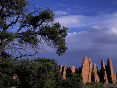
An easy hike in the Windows Section of Arches provides terrific views of Pothole, Ribbon, Double, Turret, North Window, and South Window Arches all in one area. This is one of the most popular and busiest sections of the park.
Park Avenue
Courthouse Towers and Park Avenue hike
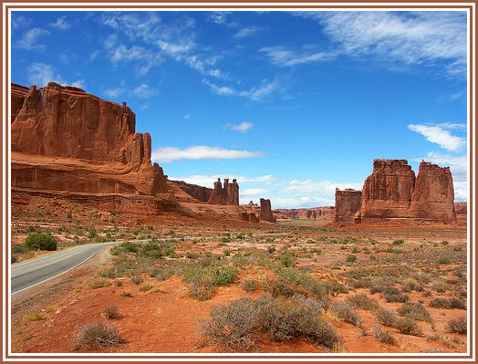
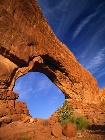
Just about a mile into the park, you’ll find the Park Avenue area. This area is directly adjacent to the Courthouse Towers area and is an easy hike. However, you can see both from the parking area off the main road. From here you can gaze upon the Tower of Babel and the Three Gossips, or take a short walk to the sandstone walls. You may want to save your energy for the longer walks up ahead!
History, Geology, and Biology of Arches
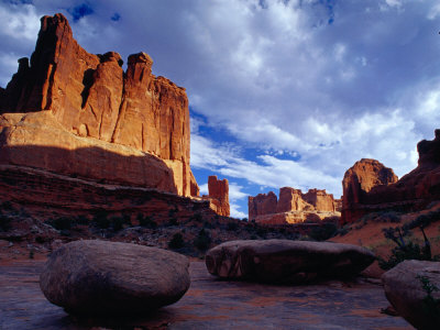
Arches National Park is a U.S. National Park in eastern Utah. It is known for preserving over 2000 natural sandstone arches, including the world-famous Delicate Arch, in addition to a variety of unique geological resources and formations.
The park is located just outside of Moab, Utah, and is in size. Its highest elevation is 5,653 feet (1,723 m) at Elephant Butte, and its lowest elevation is 4,085 feet (1,245 m) at the visitor center. Since 1970, forty-three arches have toppled because of erosion. The park receives 10 inches (250 mm) of rain a year on average.
The area, administered by the National Park Service, was originally designated as a national monument on April 12, 1929. It was redesignated a national park on November 12, 1971.
